Use Cases
From persistent monitoring to time-critical deliveries, Ataria designs each ADaaS deployment around the specific operational outcome that is required.
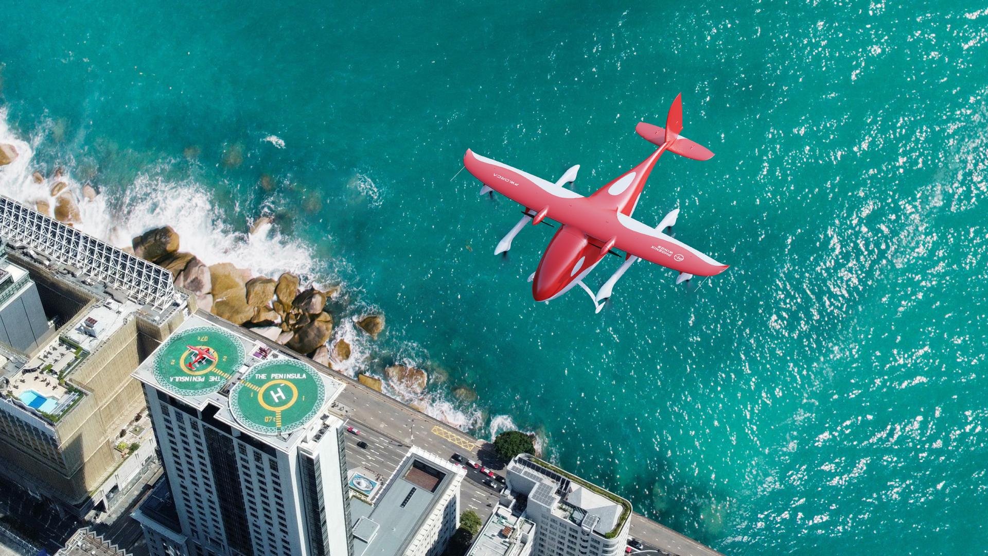
Automated inter-island medical payload delivery.
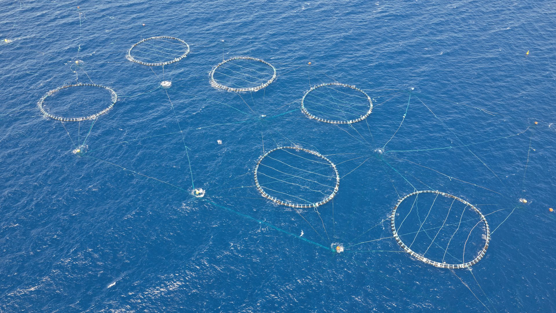
Automated aerial monitoring and security patrol, day or night.
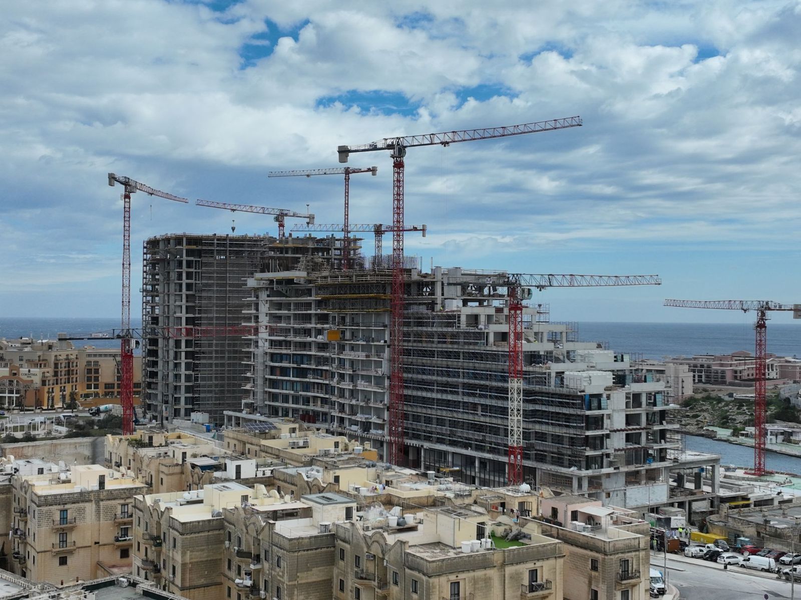
Automated 3D inspection for construction sites and critical infrastructure.
Rapid aerial response and search and rescue support for first responders.
Move
Flagship Programme
Ataria has been awarded the Maltese Government's tender for an autonomous drone service linking Mater Dei Hospital in Malta with Gozo General Hospital, issued by the Ministry for Health and Active Ageing. The service will carry eleven types of monoclonal antibody medicines alongside general lab samples, between the two islands' main hospitals.
The route gives Gozitan patients faster access to treatments that previously required travel to Malta, supporting the expansion of Gozo General Hospital's Day Care Unit, and shortens diagnostic turnaround by moving lab samples for testing without waiting on the ferry crossing.
The network may extend to other entities under the Ministry for Health and Active Ageing, including San Vinċenz de Paul and the Ċensu Moran Centre.
Ataria is now in the process of standing up the service, with launch expected in early 2027.
Route
Mater Dei Hospital ↔ Gozo General Hospital
Cargo
Medicines & general lab samples
Launch
Early 2027
Monitor
Ataria is developing an offshore fish farm patrol and inspection service for Malta's aquaculture sector, combining a DJI Dock 3 automated drone station with the DJI Matrice 4 Series aircraft. Missions launch from a coastal dock and fly BVLOS across open sea to the farm, where the aircraft carries out perimeter security patrols, structural inspection of cages, netting and mooring lines, and visual monitoring of fish stock and predator activity.
Each mission combines a transit leg over open sea with an on-station patrol and inspection pattern, flown at low altitude during early-morning and late-evening windows chosen for lower vessel and air traffic. A typical flight cycle runs around 30 minutes, combining RGB and thermal imaging to support both security patrol and low-light structural inspection in a single pass, with LIDAR scanning available to measure cage, netting and mooring-line condition and deformation over time.
Ataria is now in the process of finalising operational detail for this service, with launch expected in Q1 2027.
Deployment
Coastal dock, BVLOS transit to offshore installation
Payload
RGB, thermal & LIDAR
Launch
Q1 2027
Inspect
Ataria provides automated aerial inspection and 3D monitoring for construction sites and critical infrastructure across Malta and Gozo, combining a DJI Dock 3 automated drone station with the DJI Matrice 4 Series aircraft. Repeat flights over active sites build high-resolution photogrammetric 3D reconstructions that track excavation, structural progress and site conditions over time, while the same platform flies automated BVLOS inspections of other critical assets such as power lines, pylons, transformers and pipelines.
High-resolution orthomosaic maps and 3D models support construction progress tracking, asset management and maintenance planning, while thermal imaging detects defects such as abnormal heating patterns, corrosion, structural degradation and vegetation encroachment on surrounding infrastructure. LIDAR scanning adds survey-grade point clouds for sites and structures where photogrammetry alone isn't precise enough, including volumetric measurement, clearance checks and as-built surveys under dense vegetation or low-light conditions.
The inspection service is operational across 65% of the national territory for construction-site monitoring and other infrastructure. As we add further hubs in 2027, coverage of the territory is expected to reach 80% by end of year.
Scope
Construction sites and infrastructure
Payload
RGB, thermal & LIDAR
Status
Operational
Respond
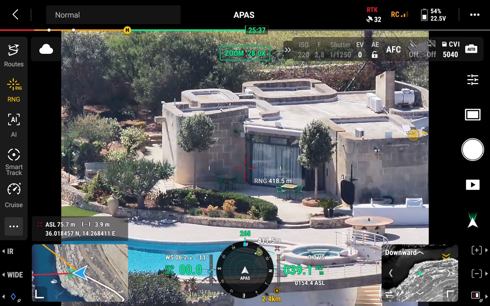
When an emergency occurs (a missing person, a fire, a security incident, an explosion, a traffic accident, a request from first responders) a dock-based aircraft can be airborne within moments, reaching the scene well ahead of ground teams and giving search and rescue crews and emergency services an aerial view of the situation before anyone arrives on foot or by vehicle.
Equipped with RGB and thermal imaging, the aircraft supports search and rescue operations by scanning wide areas of coastline, countryside and built-up areas for missing or stranded individuals, day or night, in conditions where ground searches are slow, dangerous or simply cannot cover the same ground in the same time.
Live video is streamed directly from the aircraft to first responders on the ground and to the control room, giving incident commanders a continuously updated overview of the scene as it develops. That shared picture helps teams assess scale and risk, direct resources to where they are needed, coordinate between police, fire, ambulance and civil protection units, and make faster, better-informed decisions in the critical early minutes of an incident.
The service is operational today, providing rapid aerial response and search and rescue support to first responders and emergency services as part of their existing incident-response procedures.
The adjacent footage is from one such response, following an explosion along Salina Road that was heard across multiple Maltese localities. Ataria's dock-based aircraft was on the scene within three minutes, capturing the clearest aerial view of the aftermath available.
Scope
Emergency response, search & rescue, first-responder support
Deployment
Dock-based aircraft, airborne within moments of trigger
Output
Live aerial view to first responders & control room